
Kenya Maps Flood Hotspots Ahead of El Niño Rains
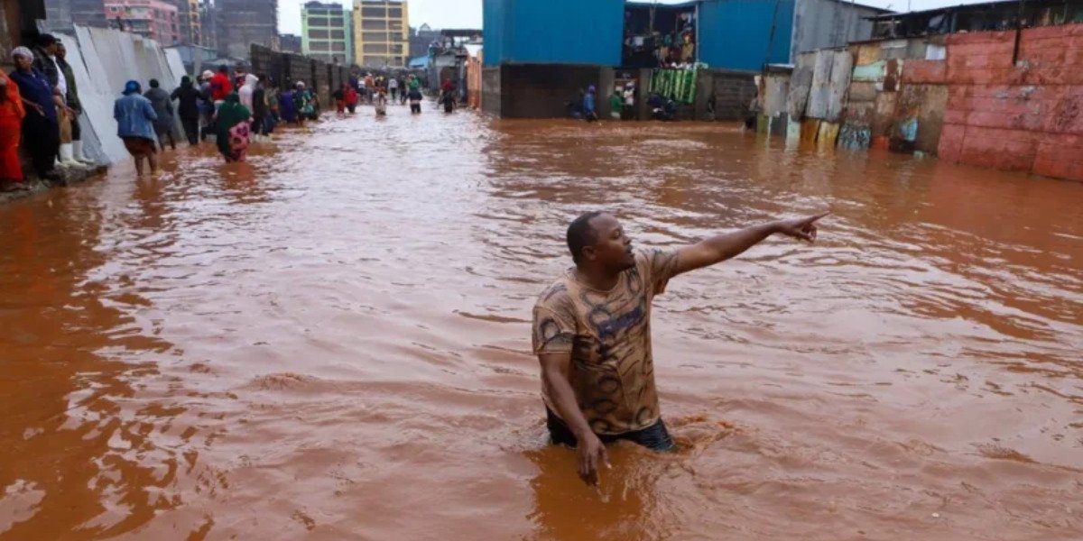
Kenya has intensified preparations for the October–December (OND) rains, with authorities warning of above-normal rainfall and a potentially very strong El Niño event.
The Ministry of Interior and National Administration has unveiled a National Contingency Plan to reduce the impact of the expected rains, particularly in Western, Nyanza and North Eastern counties, where rainfall could begin earlier than usual.
The plan was developed with county governments, humanitarian organisations and security agencies. It includes measures to strengthen early warning systems and improve the country's ability to respond quickly to emergencies.
Authorities have mapped areas at risk of flooding, including riverine and coastal zones, landslide-prone highlands and arid and semi-arid areas. Roads and transport corridors in nine regions have also been identified as vulnerable to disruption.
Urban areas are receiving particular attention.
The Kenya Urban Roads Authority is desilting drainage systems and culverts to reduce the risk of flash floods. Efforts under the Climate WorX programme are also addressing solid waste, which can block drainage systems.
At the community level, chiefs, assistant chiefs and Nyumba Kumi networks are strengthening early warning systems. Public awareness campaigns are also being conducted to inform residents about evacuation procedures and disaster preparedness.
The government is pre-positioning relief supplies, including food and medical provisions, at strategic depots. Temporary holding areas have also been identified for people who may need to be displaced by flooding.
Water levels in major dams and rivers are being monitored continuously, while inspections of bridges, roads and other utilities are being conducted to identify weaknesses before the rains intensify. Rapid response teams are on standby to carry out search and rescue operations, evacuations and post-disaster assessments.
The government has urged residents in high-risk areas to follow evacuation advisories and report blocked drains, rising water levels and damaged infrastructure. The Ministry of Interior said heavy rainfall can quickly overwhelm drainage systems, rivers and critical infrastructure, particularly in areas already considered vulnerable.
The preparations follow the severe effects of the 2023–2024 El Niño season, when floods killed at least 245 people, displaced nearly 46,000 households and affected more than 78,000 families across 42 counties. The Kenya Meteorological Department has placed the probability of a very strong El Niño at 81 per cent this year. Above-average rainfall is also forecast for about 80 percent of the country.
The OND rains are particularly important for Kenya's agriculture and water supply, accounting for up to 70 percent of annual rainfall in some regions. However, heavier-than-normal rainfall can also increase the risk of flooding, landslides, infrastructure damage and displacement.






Comments
No comments yet — be the first.