


New World Map Makes Africa Look Bigger: What's the Fuss About?
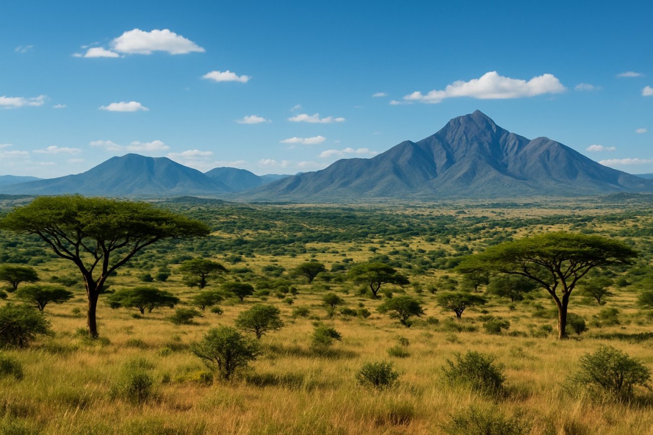
The global cartographic landscape may soon see a significant shift following the United Nations' endorsement of the Equal Earth Projection. This new map projection aims to provide a more accurate representation of the Earth's landmasses, addressing long-standing criticisms against the widely used Mercator Projection. The UN's non-binding resolution to adopt the Equal Earth Projection is a move towards rectifying the disproportionate scaling of continents on world maps, particularly the underrepresentation of Africa and other regions near the equator.
The Mercator Projection, developed in the 16th century for navigation purposes, has been criticized for distorting the relative sizes of landmasses. It significantly enlarges areas near the poles, such as Europe and North America, while minimizing regions closer to the equator. This has led to a common misconception of the actual sizes of continents, with Africa often depicted much smaller than its true scale. The Equal Earth Projection seeks to address these distortions by providing a more balanced view of the planet, where all continents are displayed in their true proportions.
The introduction of the Equal Earth Projection has implications for educational materials, global consciousness, and international relations. By displaying countries and continents more accurately, it offers a tool for promoting a better understanding of global geography. This development is particularly relevant for Africa and other developing regions that have been historically misrepresented in global cartography, potentially influencing geopolitical and economic perceptions.
While the UN's endorsement does not mandate the use of the Equal Earth Projection, it encourages educational and scientific communities globally to consider its adoption. This could lead to changes in how geography is taught in schools and how global data is visualized in various platforms, from textbooks to digital mapping services.
The transition to a more accurate map projection aligns with broader efforts to promote equity and representation on the global stage. As awareness grows around the limitations of traditional projections like the Mercator, the Equal Earth Projection offers an alternative that aligns with contemporary values of fairness and accuracy. Observers will be watching to see how quickly and widely institutions adopt this new projection and whether it will reshape the way people perceive the world and its diverse regions.



Comments
No comments yet — be the first.