High-Tech Tracking as Nakuru's Wildlife Census Goes Digital

The complex process of wildlife census at Nakuru National Park began on September 11, with Stephen Ndambuki, a senior research scientist from the Wildlife Research and Training Institute (WRTI), meticulously reviewing preparations before boarding a fixed-wing light aircraft.
This census marks the fourth in a series, following previous counts in Masai Mara, Amboseli, and Athi Kapiti landscapes. The Nakuru-Naivasha ranches census entails an expansive area of 11,700 square kilometres, utilizing five fixed-wing light aircraft. The operation's success hinges on careful planning and role allocation, with duties assigned the evening before commencement. These roles include team leadership, coordination, training, administration, piloting, observation, data handling, security, logistics, and equipment management. WRTI principal scientist Dr Joseph Mukeka led the team while Ndambuki was responsible for refresher training.
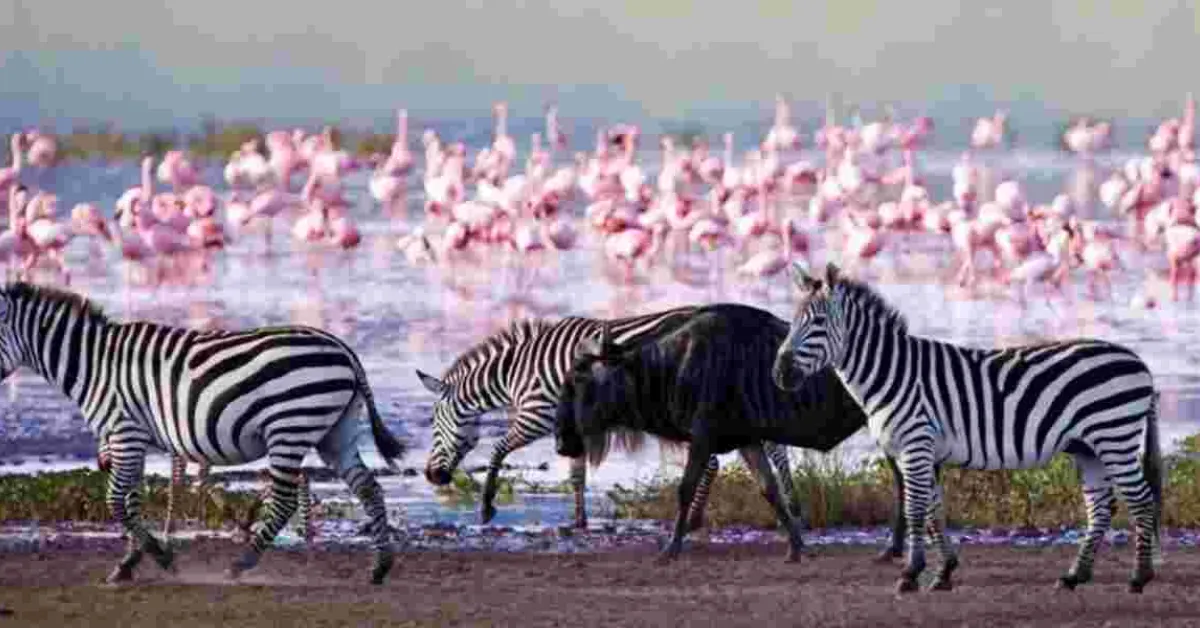
The census aims to determine the number and distribution of large mammals, map human activities, assess conservation pressures, and establish the spatial distribution of threats to wildlife due to anthropogenic activities. The data gathered would inform sound management decisions for wildlife conservation in the region. The survey area comprises four protected zones: Hell's Gate and Mount Longonot national parks, and Elementaita and Naivasha Wildlife sanctuaries. Additionally, it covers numerous conservancies and farms in Nakuru county, including Soysambu, Kigio, Malu, and several others. The landscape is home to a diverse array of wildlife, including common zebras, African buffalos, impalas, wildebeests, and various gazelle species.
Multiple methodologies have been employed during the census, including aerial counts, ground counts, and spatially explicit capture-recapture techniques for carnivores. The survey area is divided into blocks, with a North-South transect orientation recommended. GPS technology plays a crucial role in logging transects and marking observations as waypoints. The integration of technology in the National Wildlife Census 2024-25 has significantly enhanced the efficiency and accuracy of wildlife monitoring. GPS devices record precise flight patterns and spatial information, while dictaphones and cameras capture attribute data.
This technological approach ensures the collection of comprehensive and accurate data which is essential for effective wildlife management and conservation in the Nakuru-Naivasha region. Upon completion of each flight, data is meticulously recorded and analyzed to ensure reliability. This rigorous approach to data collection and analysis forms the foundation for informed decision-making in wildlife management and conservation efforts. The comprehensive nature of this census, covering both protected areas and private conservancies, offers a holistic view of the wildlife population and the challenges they face in the Nakuru-Naivasha landscape.


Add new comment